
St Osyth, Manningtree and Mistley get new conservation area plans
Three of Tendring's most historic places now have fresh rules guiding how their buildings, views and open spaces are looked after, with redrawn boundaries.
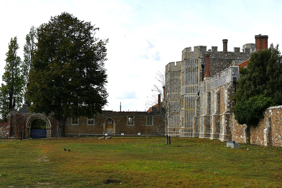
A 12th-century priory, a medieval market square and Georgian maltings are among the features picked out in new Conservation Area Character Appraisals and Management Plans for St Osyth, Manningtree and Mistley, which Tendring District Council's cabinet adopted on Friday 13 November. The documents will be used when planning applications in the three areas are decided.
Both boundaries have changed. St Osyth's now centres on its historic and architectural interest, leaving out part of the Creek and correcting a mapping error west of the Priory. In Manningtree and Mistley, further assessment of Mistley Park, including the woodland around Gull Pond, reshaped the line, and Trinity Field is now recognised as an important part of the area's setting. Residents' comments in the consultation led to changes to the history, maps and building assessments.
Councillor Andy Baker, cabinet member for housing and planning, said the decision means all 20 of Tendring's conservation areas now have up-to-date appraisals and guidance. The council says the plans will support its new Local Plan as the district grows.
Key points
- All 20 Tendring conservation areas now have updated plans
- Plans cover windows, doors, shopfronts, trees and key views
- They will feed into the new Tendring Local Plan
This is a summary written by The Seax. The original reporting, quotes and images belong to Tendring District Council. Spotted a mistake? Tell us.
Know more about this story, or have one of your own? Email news@theseax.com. Corrections to corrections@theseax.com.